

We didn’t really know how great a hike this was going to be when we set out on it. We first hiked up and around Bash Bish Falls, hoping the jump on the South Taconic Trail to hit Alander in one loop… However, a pretty serious stream crossing on the top of Bash Bish made for alternate plans. We returned to the car (parked on the NY side) and drove over to the Mount Washington State Park and used the Alander Mountain trail to summit the Columbia County High Point!
With only about 1000′ feet in gain over the 4 miles to the summit you never have to work too hard and the surrounding forest is so beautiful, its worth the walk alone. Nearing the summit you will come across the Hunters Cabin that is open to the public, and used by day hikers and thru hikers just the same! There are signs of good parties, and restful nights, and many carved initials complete the cabins decor. We hope to return and spend a night here, day hiking the surrounding county high peaks!
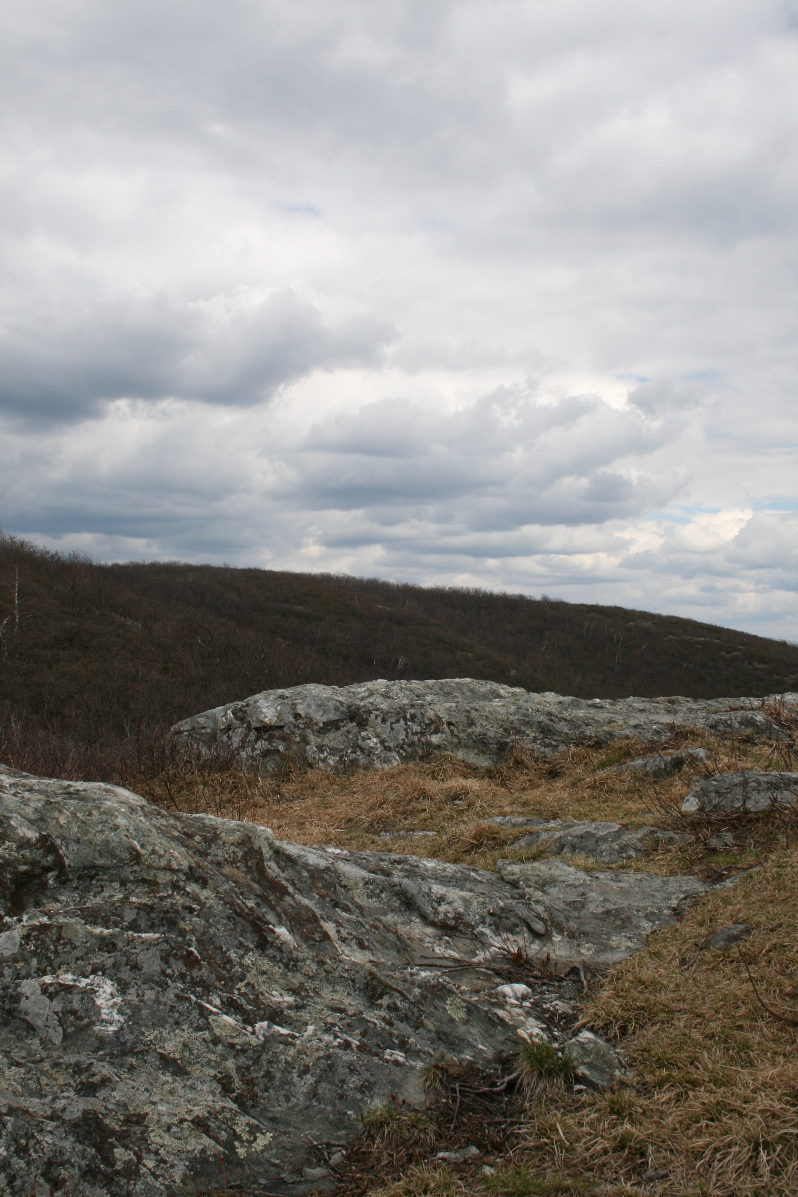
View from summit of Alander looking towards Mt. Frissel

Dan taking in the view over Southern Columbia County

The Cabin near the Summit.
Mountain Specs: Alander Mountain
Summit Elevation: 2239′
Trail: Alander Mountain Trail from the Mt Washington State Forest – 4 miles one way / 8 miles round trip
Elevation Gain: 1000′
Summit Perk: NY/MA boarder stone, highest point in Columbia County, original home to what is now the Beebe Hill Fire Tower
Best summit sandwich: Church St. Deli & Pizza in Copake
Post Hike Libation: Haven’t tried it yet, but the Taconic Wayside Inn on the NY side of Bash Bish is on the MUST try list!
